Categories
Tags
-
#ai
#Data Management
#healthcare
#Smartphones
#big data
#pandemic
#Artificial Intelligence
#DNA
##health #healthcare #medicines #anxiety
#Digital Transformation
#Health Benefits
#machine learning
#Data analysis
#FHIR
#Healthcare System
#Life Science
#H7
#HL7
#Health Level 7
#Healthcare industry
#Medical Research
#Pharma companies
#Cell and gene therapy
#data visualization
#data integration for biotech and pharma
#Quality Management
#Life Science Technology in US
#Data analytics for clinical trials
#technology for decentralized clinical trials
#Data Integration
#data analytics service provider
#Computer Vision. Artificial Intelligence
#Self driving Cars
#autonomous vehicles
#Computer Vision services in US
#CPV
#Pharma Industry
#Biotech IT Provider in US
#utility inspections
#digital transformation technology
#digital business transformation
#Digital Pathology
#Pathology
#Artifical Intelligence
#Computer Vision
#Aerial Imagery
#Gig Economy
#Augmented Reality
#Covid-19 Vaccine
#Geospatial Intelligence
#Deforestation
#Urbanization
#Satellite Image Analytics
#Satellite Imagery
#Satellite
Archives


Let's talk!
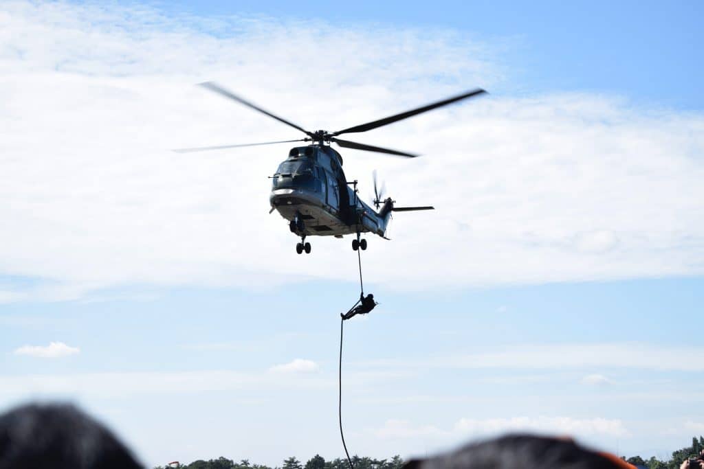
AI and Aerial Imagery for Search & Rescue
-
Posted by Aventior Technology Filed in Technology #ai #Artifical Intelligence #Computer Vision #Aerial Imagery 11 views
Drone – The Unmanned Aerial Vehicles – they are mainly available in 4 types for aerial mapping depending upon their power and usage purpose. However, the first low-cost modern drone was developed back in 1935. It was controlled by radio and used for target practice. Later it was widely used in the Vietnam War to launch missiles against stationary targets and more. It has now become a part of military forces across the globe. Drones are used for various non-military operations as well. It is used to monitor climate conditions, for aerial photography, video inspection, aerial mapping, drone delivery, and more.
In recent times it is used for search & rescue operations post any natural disasters. Such search and rescue services are generally carried out by the police force, firefighters & specialized rescue teams. It is best to locate a missing or kidnapped person in a vast area.
How is search and rescue operations carried out using drone image?
Individual rescue using Drone Imagery
The real-time imagery provides crucial information about emergencies. It provides an accurate location over a vast area so that rescuers can take quick decisions and act on it immediately. The time and the number of rescue operators needed to rescue a person in an emergency are drastically reduced. There are few excellent examples where usage of drone imagery saved lives like:
– A trapped hiker was rescued from a ledge at night in Utah
– Helped in finding the 88-year-old missing person in Texas
– Rescued 2 cousins trapped in Iceland mountainsideRisk control during Natural Calamities
Drone imagery is not only helpful for such rescue operations but also during natural calamities. Post floods or earthquakes, emergency service managers can survey the area and check the actual condition and damages. Accordingly, they can plan their rescue mission. They can send the team to specific areas where help is needed. This enables timely help and doesn’t risk the life of responders.
Firefighter Drones
Firefighter drones have cameras with thermal imaging technology. Be it wildland fire or buildings on fire, firefighter drones can capture images through the smoke. It gives a 360-degree real-time image of burning structures. Drones can use floodlights to carry out nighttime rescue operations. The footage of search and rescue is used for future training purposes as well.
Hazardous Chemical Spills
In case of hazardous chemical spills or leakage of nuclear chemicals from factories, damage assessment can be a risky task. Unmanned drones can give a full-scale evaluation of the scene in a fast and effective manner. Drones are also used to monitor radiation exposure, repair & rebuild the destroyed area. All this leads to minimum human exposure and limits any harmful side-effects to the rescue operators.
Drone helps to deliver emergency infrastructure & supplies
During and after natural disasters or terrorist attacks, infrastructure lines are severed or disabled. The roads, bridges, communication lines, water & gas lines are blocked. Drones are used to supply daily supplies. Communication lines are restored using drones. In areas that are risky to reach, drones act as saviors and carry food and water for people stuck in such areas. Drones can be used to set up temporary WIFI connections without restoration of power or communication lines. The risk to the lives of the rescue operators is reduced. Also, the cost to send a manned airplane is saved.Benefits of Drone Imagery in Rescue Operations
- The time to reach the emergency location is reduced
- Vast geographical areas can be covered quickly
- Drone can easily reach inaccessible areas
- Real-time situation analysis is possible using the images
- Spot-hots can be identified quickly and decisions can be taken accordingly
- Thermal imaging can spot human easily in extreme conditions
- The cost to send airplane or manned vehicles is drastically reduced
- Zoom cameras placed on drones can be used to check the well-being of the person in trouble
- Using drone temporary communication lines can be set up during emergencies
- Drone can be used to supply emergency supplies in war-affected areas
Artificial Intelligence (AI) Technology in Drones
Drones were designed to be remotely controlled by the operator. Now with AI technology complete automation of drones is possible. AI-based drones use computer vision with sensors. During the flight, it can capture the objects on the ground and simultaneously analyze & record it. This provides a major boost in the search & rescue operations as the data is streamed in real-time. The AI-based drone can easily fly over traffic route, spot the vehicle used for kidnapping, and send information about the car the make & model with license plate number. All this is done when it is in flight. Provision of vital information during search speeds up the rescue operations.
Aventior executed a proof-of-concept with one of the counties in Southern California to use AI/Computer Vision to speed up the process of human detection for search and rescue. The resultant process cut down the time to identify a lost person / trekker by almost 70%.
Conclusion
Drones were extensively used during war-times for the supply of arms & to create psychological fear. However, they are now becoming popular across various industries like agriculture, oil & gas, construction, and others. These companies use them to assess the land condition and crop health, perform inspections, and more. Now drone imagery is used to save people’s lives by using it for search and rescue missions. From taking life to saving a life, drone imagery has come a long way. It is also been considered for future safety purposes. The value the imagery adds to search and rescue operations is phenomenal. Usage of AI-based drones helps to get accurate imagery along with vital ground details, this boosts the search and rescue operations. It truly deserves its title of being the best “eye in the sky”.
Aventior offers AI-based image recognition services. It can extract digital images or videos and data in real-time and process this information. If you have any questions about our AI-based image recognition services, email us at info@aventior.com.